Cadastre & 3D Buildings
- Save time and reduce costs associated with periodic cadastral survey updates
- Facilitate your work processes with digital tools and encourage collaboration with other trades and stakeholders
What Uzufly does for you
Traditional methods of periodically updating the cadastre require a lot of time to, among other things, assemble the available data, take new measurements, access information from private parcels, and consolidate all this data.
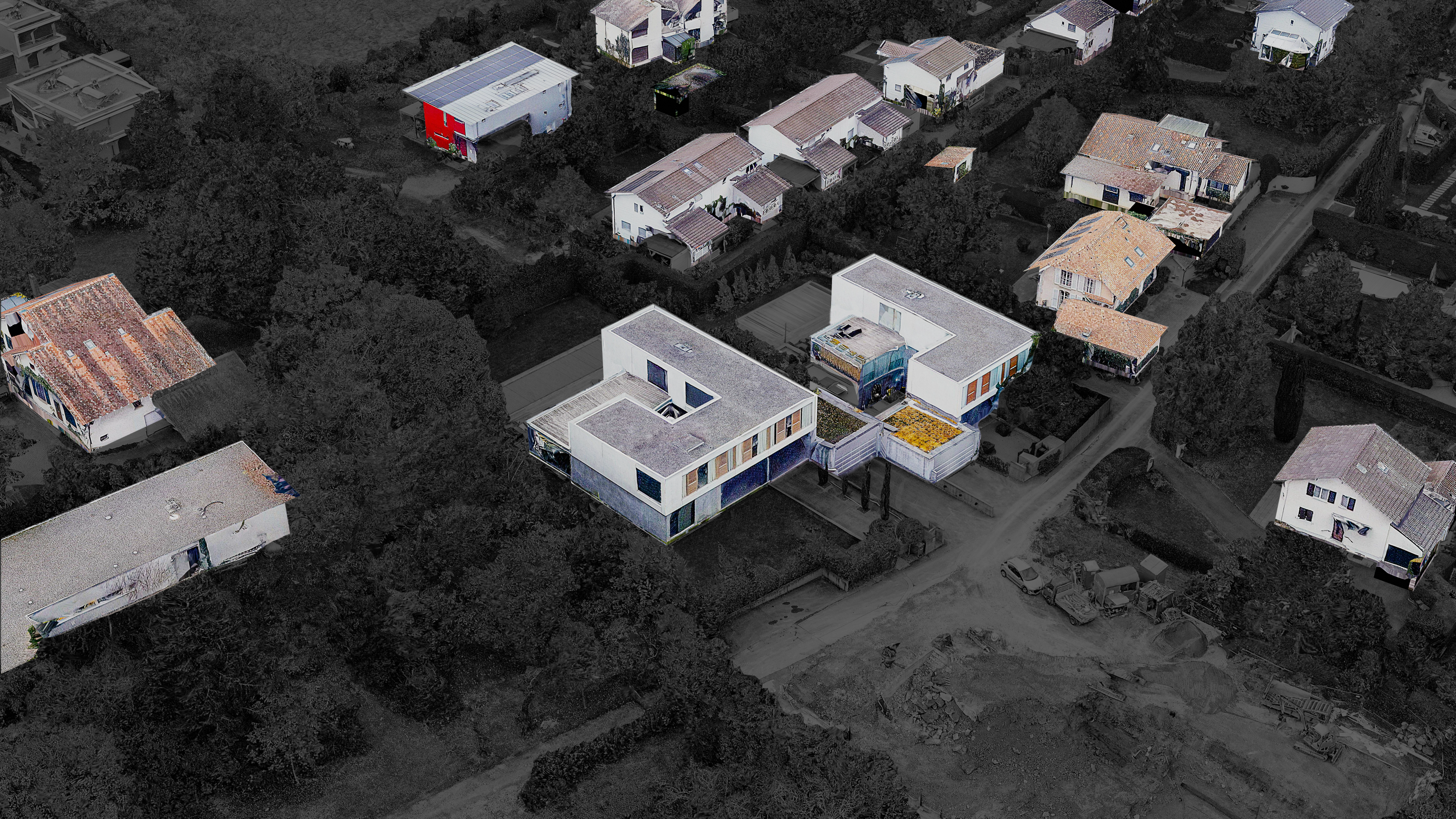
Thanks to our 3D models, surveyors can directly compare the digital model with previous cadastral data to visualize the changes made compared to the last survey. The necessary updates are then made in a few clicks and without the need to go to the field.
Thanks to our 3D models, surveyors can directly compare the digital model with previous cadastral data to visualize the changes made compared to the last survey. The necessary updates are then made in a few clicks and without the need to go to the field.